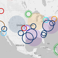
Climate Signals, a science-based digital platform, catalogs the impacts of climate change in real time. Through mapping, Climate Signals shows what climate change looks like at the regional, state, and neighborhood level, and helps identify long-term climate trends and physical processes that may be at work. The tool, a project of the MacArthur-supported Climate Nexus, connects individual extreme events, such as a wildfire, drought, or flood, in a scientific way to broader climate trends.